Picture your morning coffee on a quiet dock while dolphins cruise past and the sun warms the Halifax River. If you are drawn to boats, fishing, and easy access to parks, South Daytona’s riverfront and canal-side streets might be a perfect fit. In this guide, you will learn how the waterway works, what daily life feels like, and the key checks to make before you buy. Let’s dive in.
Why the Halifax River matters
The Halifax River is part of the Atlantic Intracoastal Waterway and the northernmost basin of the Indian River Lagoon, a shallow, brackish estuary known for manatees, dolphins, and great birdlife. That mix of salt and fresh water supports recreational fishing and paddling, and it shapes how docks are built and regulated. To understand the broader ecosystem you are joining, explore the regional context of the Indian River Lagoon.
Boating access and navigation
South Daytona centers on everyday boating, not mega yachts. You will see day-cruisers, center consoles, and kayaks moving along the Intracoastal Waterway, with access out to the ocean through Ponce Inlet. For local launching and a simple day on the water, Riverfront Park offers a city boat ramp, fishing pier, and a kayak launch. If you need fuel, pump-out, or transient slips, nearby Halifax Harbor Marina in Daytona Beach is a common home base.
Bridge clearances and opening schedules affect which boats can pass. Some spans offer high fixed clearance, like the Seabreeze area at around 65 feet, while downtown crossings include bascule bridges with lower closed heights. Boaters often confirm exact clearances and openings before a run using resources like the Seabreeze Bridges listing. Portions of the river fall under manatee protection zones, so expect slow or idle-speed areas in certain stretches; you can review designated areas in the Florida manatee zone rules for Volusia County.
Parks, trails, and daily rhythm
Riverfront Park anchors simple riverfront routines: quick walks, fishing from the pier, launching a kayak, or picnicking with friends. A short drive inland, Reed Canal Park adds trails, disc golf, and a dog park for everyday outings. Regional plans like the St. Johns River-to-Sea Loop aim to improve bike and pedestrian links along the Halifax corridor, which can make waterfront rides and connected promenades more accessible over time. You can follow planning updates through the River to Sea TPO resources.
Weekends bring visible boating culture. Seasonal events and holiday boat parades create a festive waterfront feel nearby in Daytona-area spots, while markets and riverside greens invite simple, outdoor time. Winter and spring see more visiting boaters, while hurricane season shifts locals into preparedness mode.
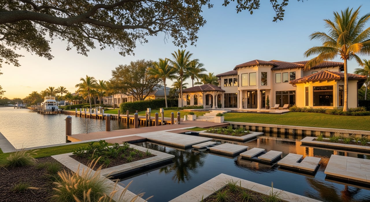
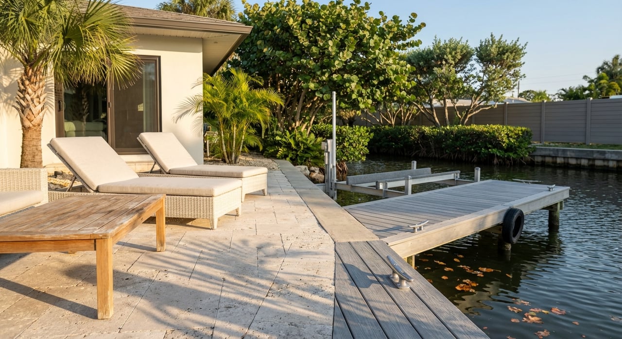
Home types and waterfront features
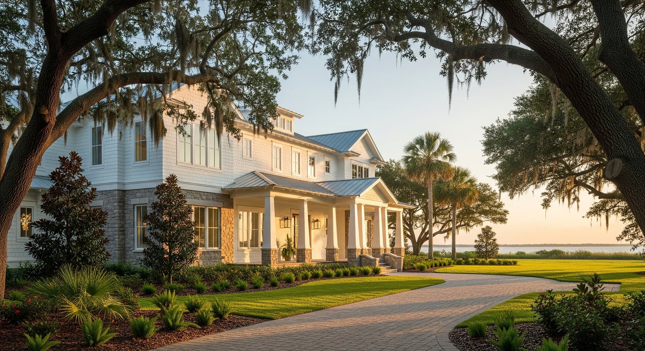
You will find a mix of single-story ranch and bungalow homes, mid-century builds from the 1960s to 1980s, low-rise condos, and some mobile or park-style communities. Along canals and riverfront pockets, older homes with docks sit beside renovated properties. Many buyers notice that canal-front options in South Daytona can come at lower price points than some neighboring beach towns.
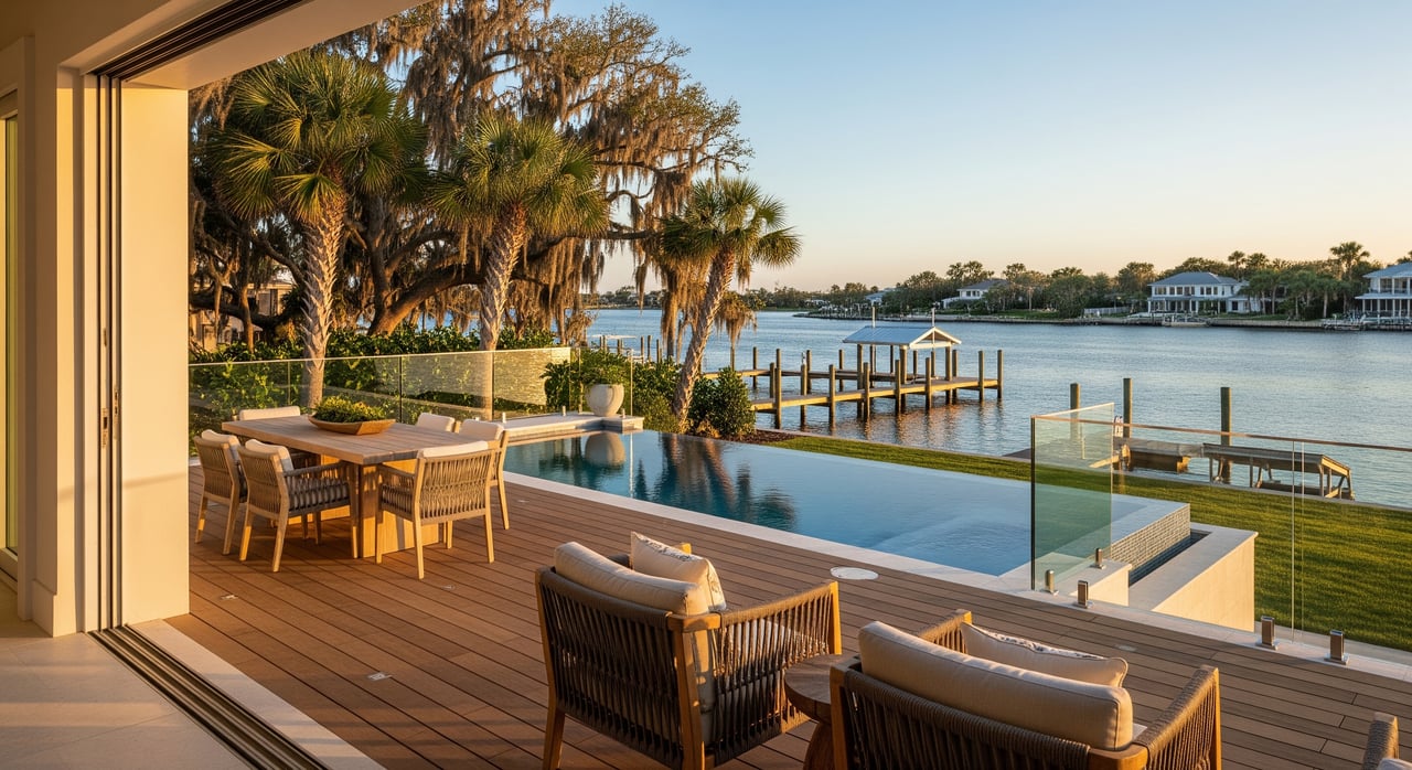
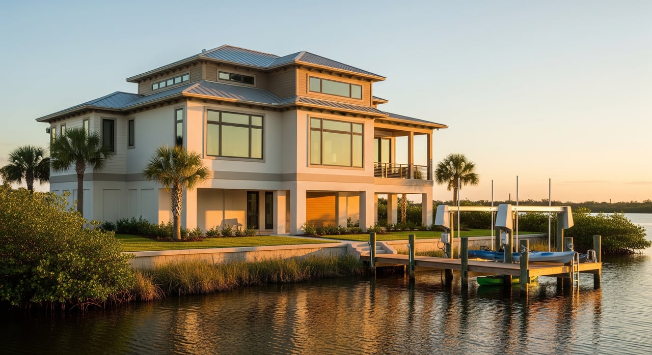
Typical features on river or canal lots include seawalls or bulkheads, pile-supported docks, boat lifts or davits, screened lanais, small pools, and outdoor cooking areas. The condition of the seawall and dock matters for both safety and budget, so plan to inspect them closely.
Flood, elevation, and insurance basics
Many river and canal parcels fall within FEMA Special Flood Hazard Areas, while inland streets can be in Zone X. Your exact flood zone, base-flood elevation, and elevation certificate will shape loan needs and premiums. Start with the county’s tools at the Volusia Flood Map Viewer.
Florida building codes and local floodplain rules require elevated construction or other flood-resistant designs for new builds in flood zones, so expect higher finished-floor elevations on new or rebuilt homes. Hurricane season runs June 1 through November 30, so factor in storm-readiness and insurance timing; the NOAA hurricane FAQ is a useful seasonal reference.
Permits and shoreline work 101
Shoreline projects often need multiple reviews. In Florida, dock and seawall work typically involves local permitting plus state environmental authorization and, when navigable waters are affected, review by the U.S. Army Corps of Engineers Jacksonville District. You can see an example of a regional general permit on the Corps site here: USACE programmatic permit information.
Where seagrass beds or manatee habitat are present, agencies may require surveys or design features like grated decking, limits on dock length, or seasonal work windows. Projects that involve dredging or placing fill usually trigger deeper review and longer timelines. Many routine single-family docks can proceed under general or regional permits, but pre-application coordination helps you set expectations.
Buyer checklist: Before you fall in love with a view
Use this quick list to focus your due diligence:
- Flood zone and elevation: Confirm the property’s FEMA flood zone and request the elevation certificate using the Volusia Flood Map Viewer.
- Dock and seawall status: Verify that the dock and seawall were properly permitted at the local and state levels, and ask for recent inspections and photos. For federal context, review USACE permit guidance.
- Boat access realities: Ask about mean low-water depth at the dock, allowable dock projection, and the bridge clearances on your typical routes. For reference, see the Seabreeze Bridges details.
- Insurance and recurring costs: Request current quotes for wind and flood coverage and confirm any HOA or community assessments for canal dredging or bulkhead work.
- Environmental and wildlife rules: Learn the local slow or idle-speed manatee zones by reviewing the FWC manatee rule for Volusia.
- Marina and services backup: If your dock cannot accommodate your boat, check availability of fuel, pump-out, and slips at Halifax Harbor Marina and other nearby facilities.
- Lifestyle fit: Visit at different times of day. Note launch and tide windows you will actually use, where you will walk or ride, and how close you want to be to community events.
Is South Daytona right for you?
If you want practical access to the water, a visible local boating culture, and parks that make it easy to be outside, South Daytona’s riverfront and canal-side blocks deliver. You will trade mega-marina vibes for a more modest, neighborly waterfront that still connects to the Intracoastal Waterway and the ocean through Ponce Inlet. With the right due diligence on flood, docks, and permits, you can enjoy a low-key, water-oriented lifestyle.
When you are ready to explore river-adjacent homes or want help sorting dock details and flood zones, reach out to Stacy Kelly for local guidance and a clear plan.
FAQs
What is living on the Halifax River in South Daytona like?
- Expect everyday boating and paddling, fishing from piers, local parks for quick walks, and a friendly waterfront scene with seasonal events and visible boat traffic.
Where can you launch a boat in South Daytona?
- Riverfront Park offers a city boat ramp and kayak launch, while Halifax Harbor Marina nearby provides fuel, pump-out, and transient slips.
How do flood zones impact South Daytona waterfront buyers?
- Many river and canal lots fall in FEMA flood zones that can affect loans and insurance; check your address on the Volusia Flood Map Viewer and review the elevation certificate.
Who permits docks and seawalls on the Halifax River?
- Expect local permits plus state environmental clearance, and federal review by the U.S. Army Corps of Engineers for work in navigable waters; see USACE permit information.
Are there speed limits or manatee zones on the Halifax River?
- Yes. Portions of the river have slow or idle-speed areas to protect manatees; check the state-designated manatee zones for Volusia County before you head out.